
DJI Unveils Software to Keep Drones Out of Restricted Areas
January 4, 2016
Drone manufacturer DJI launched a beta geofencing system last week called Geospatial Environment Online (GEO), designed to prevent drones from operating in areas restricted by the Federal Aviation Administration. While DJI’s current flight limitation software stops drones from flying in restricted areas such as airports, the more dynamic GEO also enables updates to maps and restrictions based on unfolding events, including scheduled sports competitions or hazardous conditions like wildfires. Upon an event’s conclusion, maps can be updated again so that restrictions can be lifted.
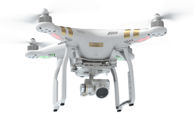
The public beta of the geofencing system will work with DJI’s Phantom 3 (pictured below) and Inspire 1 drones in North America and Europe.
According to the release, “The GEO system will also show restricted areas around locations like prisons, power plants and other sensitive areas where drone flight would raise non-aviation security concerns.”
Providing operators with updated information regarding areas affected by safety and security concerns could be a step toward curbing federal regulations as drones grow in popularity.
“GEO is available to DJI drone owners in the U.S. and Europe via a Go app update and a drone firmware update,” reports Digital Trends. “The Chinese company says it expects the beta phase to last a ‘short’ time, after which the full version will be introduced.”
DJI can be found this week at CES in Central Hall (#9845) and the Unmanned Systems Marketplace of South Hall 2 (#25602).
No Comments Yet
You can be the first to comment!
Sorry, comments for this entry are closed at this time.